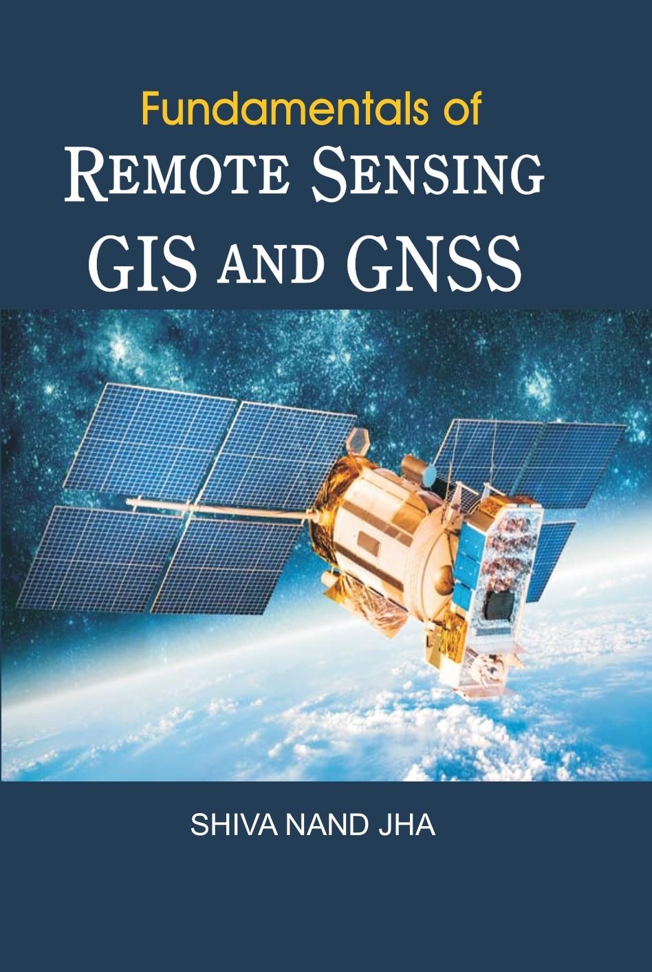
Fundamentals Of Remote Sensing Gis And Gnss
Shiva Nand Jha · Raghav Publications
Remote Sensing and GIS' occupies an important place in the course structure of Geography. The subject came into being only after 1960s. The popularity of the subject lies in its' wide application for geographers, cartographers, data analysts, engineers, planners and policy makers. Remote Sensing and GIS brought revolutionary changes in the scope, content and application of geographical knowledge, analysis and interpretation. Remote sensing technology enabled us to collect authentic data even from remote and inaccessible parts of the earth, whereas, with the help of GIS it has become very easy for geographers to map, model, query and analyses large quantities of data, within a single database. The broad areas covered in this book include: Concept, Definition and Historical Development of Remote Sensing: Electromagnetic Radiation (EMR); Platforms and Sensors: Aerial Photography and Imaging System; Digital Image Processing Geographical Information System (GIS) and Global Navigation Satellite Systems (GNSS). An extensive 'Acronyms and Glossary' and 'Select Bibliography have been given in the end. This book may be considered as a course book of Remote Sensing, GIS and GNSS for the Undergraduate and Postgraduate students of Geography. It is hoped that after going through this book, the reader will have a clear understanding of the concepts on which Remote Sensing and GIS are based, the methods they use and the application to which they can be put.
Buy NowIndia's trusted online book store